Weather Forecast!
The low-pressure area southeast of Sri Lanka has intensified into a depression and is centered near latitude 5.9°N and longitude 82.6°E, 210km southeast of Batticaloa.
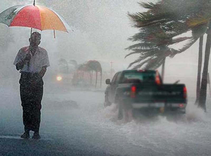
It is very likely to move nearly north-northwestwards and intensify further into a Deep Depression during the next 12 hours. Naval and fishing communities are advised not to venture to the sea areas around the island until further notice. Navel and fishing communities are requested to pay attention in to further advisories issued by the Meteorological Department in this regard.
Showers or thundershowers will occur at times in the sea areas around the island. Very heavy showers are likely at some places.
Winds will be north-easterly to northerly in the sea areas around the island. Wind speed will be (40-50) kmph in the sea areas around the island and wind speed can increase up to (60-70) kmph at times.
The sea areas around the island will be rough to very rough at times.
The swell waves (about 2.5 – 4.0 m) height (this is not for land area) may increase in the sea areas off the coast extending from Puttalam to Kankasanthurai via Colombo, Galle, Hambantota, Batticaloa and Trincomalee.
Temporarily strong gusty winds and very rough seas can be expected during thundershowers.